project focused on sustainable land use planning.
Find out more about us >>
Outdoor Amador is ‘Rollin’ on the river’
Editor’s note: The next few installments of Outdoor Amador will detail Mike’s kayak trip down the Mokelumne River, from the Lake Camanche Dam to the California Delta. Here
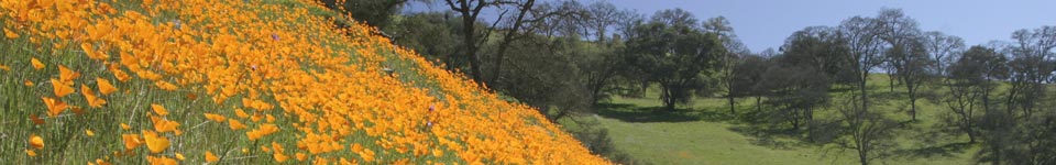
The Mokelumne River begins in the Stanislaus National Forest, high up in the Sierra Nevada Mountains. It starts its long journey down to the Pacific Ocean by flowing out of Highland Lakes, an area that can be easily accessed via a jeep road off Highway 4. You can drive or walk to the Mokelumne on public lands in the Sierra, if you wish to reach the path it has carved out of the mountains over thousands of years. The North Fork flows through the Mokelumne Wilderness, where hikers, anglers and kayakers access its grandeur via places like Salt Springs Reservoir, Camp Irene and White Azalea Campground. Farther downstream, access points include Big Bar Launch, Electra Road and Middle Bar Road, off Highway 49; Gwin Mine and Red Corral roads, off Highway 26; and Tiger Creek and Ellis Roads, off Highway 88. We can enjoy the upper Mokelumne River in a variety of ways, thanks to the many public access points from Highland Lakes all the way down through Pardee and Camanche reservoirs.